https://www.stentec.com/shop/images/dkw/2019/dkw_dk12.png

DK12 Swedish Eastcoast 2

Mem to Stockholm with Gotland and S?dert?ljekanal
  
Chart for:  
Medium:  Download
Delivery:  Direct download
  
Price:  € 99,90
 
Developed by Delius Klasing for watersport enthusiasts and commercial shipping on the Baltic Sea.
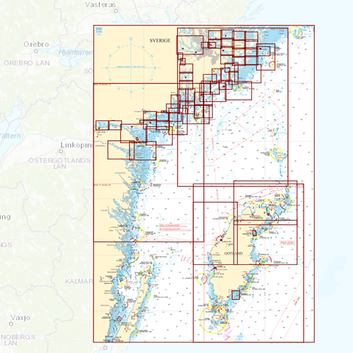
Chart coverage
This chart covers the northern part of the East Coast of Sweden, and goed from Mem to the G?takanaal via Norrk?ping, Stockholm up until the Kanholms Fj?rden. Including a lot of islands including Vind?, V?rmd?n, Ingar?, Sand?, Orn?, Musk?, Ut? and a chart to sail to Gotland.


Click on the image for a larger view


Detailafbeeldingen


Depth image
The clear depth colours are the same as the DKW 1800 series and DKW German Bight. Therefor these charts can be perfectly used together. Deep water is white and shallow waters are coloured.

Wind and currents
This chart is perfect in combination with WinGPS 5 Pro, WinGPS 5 Voyager and/or WinGPS Marine+. You can easily download the current wind and currents data, for safe route planning.
More information:  
The DKW charts are compatible with both WinGPS 5 (for Windows) and WinGPS Marine (for Android and iOS). If you have both software packages it is possible to use these charts in both programs without having to buy extra licenses.

Please use DKW Manager for installation on Windows. For installation on an Android and iOS device you need to log in with your account in the app, and go to the chart manager to download your chart.

Productspecifications

Art.nr.:  7012
Publisher:  Delius Klasing
Languages:  Dutch, English, German and Danish.
Region:  Baltic Sea
Edition:  2022
System Requirements:  Official version of WinGPS 4/5 or WinGPS Marine.
290MB disk space.

shopping cart
basket is empty
view basket