https://stentec.com/shop/images/imray/imray2700.jpg

Imray 2700 North & West Waters pack

Waterproof chart in plastic cover
  
Medium:  folio
Delivery:  1 week
  
Price:  € 86,95
 
Anglesey to Milford Haven and St George's Channel
Imray

*NEW FOR 2009* A pack of 10 charts covering the North and West coasts of Wales.

In A2 format suitable for small chart tables and compatible with Yeoman plotters.

The pack includes:

2700.1 Liverpool Bay and Anglesey
2700.2 Anglesey and Menai
2700.3 Southern Anglesey and Lleyn Peninsula
2700.4 Anglesey to Fishguard
2700.5 Cardigan Bay
2700.6 Aberaeron to St David's
2700.7 St George's Channel
2700.8 Menai Strait and The Swellies
2700.9 Cardigan Bay Plans
2700.10 Tremadoc Bay
More information:  
Always the most up-to-date edition available in our store due to the Imray exchange system.

Productspecifications

Art.nr.:  3707
Publisher:  Imray
Languages:  English
Region:  North Sea

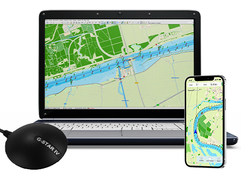
Navigate with the newest WinGPS 6

Navigate smarter, faster and safer with the latest edition of WinGPS. Discover the renewed Routeplanner 2.0, the new BASIC Mode and many more improvements.

Start using WinGPS 6 today and take advantage of the September Deal:
up-to-date until 2027!


Navigate carefree with an up-to-date system on board!
Updated charts and navigation software help you in your travels. Do you already have your onboard navigation system ready? Update your WinGPS and charts now, or contact us. We are happy to think along with you about what you need for your upcoming trips.


Do you have any questions?

Call us on +31 515 443515, fill in the contact form or make an appointment at our store in Heeg.

shopping cart
basket is empty
view basket