Developed by Delius Klasing for water sports enthusiasts and commercial shipping on the inland waterways of Germany.
Please note: DKW DK digital-charts are available only as annual subscriptions (365 days). Upon purchase, you authorise an annual direct debit. For this, an amount of € 0.01 will first be debited on the first payment and after 2-3 working days the total amount of your order will be debited. Without cancellation, the subscription is automatically renewed for another year. This way, the chart always remains up-to-date and you can sail carefree!
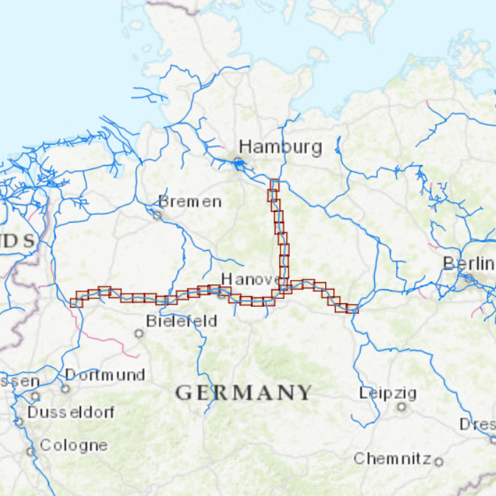
Chart coverageThis chart covers the Mittellandkanal and the Elbe-Seitenkanal and runs from Riesenbeck, past Minden and Hannover to Lauenburg and the junction with the Elbe.

Click on the image for a larger view Detail images Depth imageThe chart has a clear chart image. Water is blue, the channel is light blue and deep water is indicated in white.
More information:
The DKW charts are compatible with both WinGPS 5 and 6 (for Windows), WinGPS Marine (for Android and iOS) and WinGPS Yacht Navigator (for Windows, Android and iOS). A DKW Chart can be used on 3 devices simultaneously.