Great for tourists or canoeists who are planning on a tour through the Biesbosch.
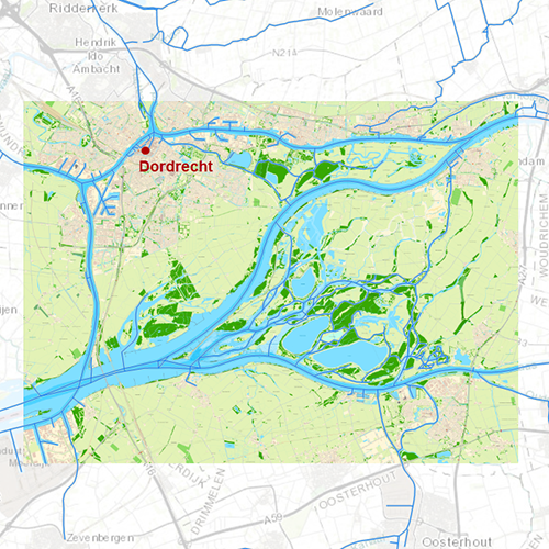
Chart coverageThe Biesbosch, between Dordrecht, Werkendam, Raamsdonkveer and Moerdijk. With the waterways: Oude Maas, Dordtsche Kil , Hollandsch Diep, Amer, Bergsche Maas en Merwede.
Click on the image for a larger view.Detailed screenshotsDepth imageDKW Biesbosch has a unique depth image of the Biesbosch based on the most recent files received from Rijkswaterstaat. This chart contains a large level of detail: with 0,8 meters per pixel, you can zoom up to the dock at your home port.
WaypointsAll the relevant information is shown on the chart as waypoints. Totally there are 3.599 waypoints for a.o. buoys, marinas, moorings and diesel tank stations. The bridges are all mentioned, including information about height and width. If a bridge or lock is operable you will also receive a VHF channel.
More information:
The DKW charts are compatible with both WinGPS 5 and 6 (for Windows), WinGPS Marine (for Android and iOS) and WinGPS Yacht Navigator (for Windows, Android and iOS). A DKW Chart can be used on 3 devices simultaneously.
Productspecifications
| Art.nr.: | 7263 |
| Producer: | Stentec Software |
| Publisher: | Stentec Software |
| Languages: | Dutch |
| Region: | Inland Europe |
| Edition: | 2025 + 2026 |
| System Requirements: | Official version of WinGPS 5/6, WinGPS Marine or WinGPS Yacht Navigator.
111MB disk space. |


