Perfect for renters, skippers and crew of sailing boats, motorboats and dinghies on the Frisian lakes. Also recommended for canoeists and fishers.
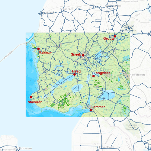
Chart coverageStretching from Stavoren to Grou, with the lakes: Heegermeer, Fluessen, Morra, Oudegaster Brekken, Zwarte & Witte Brekken, Sneekermeer, Koevorden, Tjeukermeer, Langweerderwielen and Pikmeer/Wijde Ee.
Click on the image for a larger view.Detailed screenshotsDepth imageWith a clear depth image gathered from the Frisian lakes project. Depth areas comprised of a fine color spectrum and depth numbers are displayed along the water routes. Developed by Stentec in collaboration with Provinsje Fryslân, using the most recent depth measurements. This chart contains a large level of detail: with 1 meters per pixel, you can zoom up to the dock at your home port.
WaypointsAll the relevant information is shown on the chart as waypoints. Totally there are 7.326 waypoints for a.o. buoys, marinas,
Marrekrite moorings, diesel tank stations, water camp sites and VHF channels. Also included are waterway signs and VIN berths for commercial shipping.
More information:
The DKW charts are compatible with both WinGPS 5 and 6 (for Windows), WinGPS Marine (for Android and iOS) and WinGPS Yacht Navigator (for Windows, Android and iOS). A DKW Chart can be used on 3 devices simultaneously.
Productspecifications
| Art.nr.: | 7267 |
| Producer: | Stentec Software |
| Publisher: | Stentec Software |
| Languages: | Dutch |
| Region: | Inland Europe |
| Edition: | 2025 + 2026 |
| System Requirements: | Official version of WinGPS 5/6, WinGPS Marine or WinGPS Yacht Navigator.
189MB disk space. |


