Home / Shop
Hardware
Click on one of the categories below to view the products within the category.
| GPS 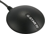 | AIS 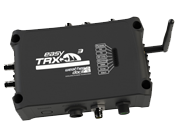 |
| Multiplexer 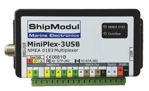 | Accessories 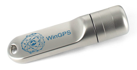 |
All products in this list:
We accept the following payments:
  |
  |
  |
  |