https://www.stentec.com/shop/images/nv-verlag/NV1A.jpg

NV 1: Rund Fünen - Kieler Bight

Pre-order
  
Format:  
Atlas: 45x32cm
Chart for:  
Medium:  Atlas + Download
Delivery:  Spring 2025
  
Price:  € 94,99
 
Combipack with paper and digital charts.

• 2 Overview charts
• 26 Coastal charts & Details
• Includes Harbor & Anchorage plans
• Remarkable data also off the beaten tracks
• Many own resurveys
• With harbor pilot book
• Monthly correction service

The NV charts are characterized by fine contours and easy to distinguish color graduations of the depth lines: red for the 2 meter line and blue for the 5 meter line.


More information:  
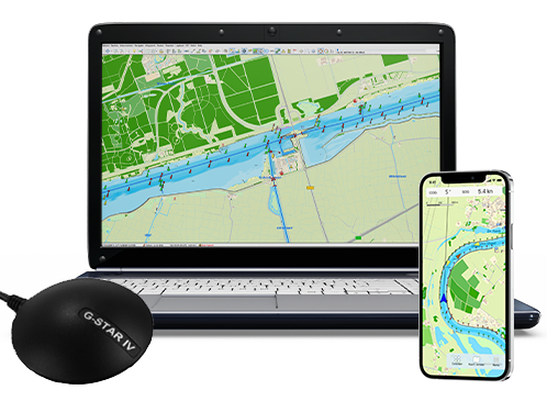
This chart set is suited for all WinGPS 5 and 6series for Windows. You can create high resolution full color prints of your charts for your own backup onboard.

Please use DKW Manager for installation on Windows.

Productspecifications

Art.nr.:  6225
Chart Name:  NV 1
Producer:  NV-Verlag
Languages:  German/English
Region:  Baltic Sea
Edition:  2025
System Requirements:  Official version of WinGPS 4/5/6.

NEW – Premium Subscription 2025

Receive the latest WinGPS 6 in 2025 with all updates and premium support.


Navigate carefree with an up-to-date system on board!
Updated charts and navigation software help you in your travels. Do you already have your onboard navigation system ready? Update your WinGPS and charts now, or contact us. We are happy to think along with you about what you need for your upcoming trips.


Do you have any questions?

Call us on +31 515 443515, fill in the contact form or make an appointment at our store in Heeg.

shopping cart
basket is empty
view basket