https://www.stentec.com/shop/images/nv-verlag/B8.jpg

NV B8: Göta channel & Trollhätte channel

  
Format:  
Ringband: 40x21cm
Chart for:  
Medium:  Ringband + Download
Delivery:  In stock
  
Price:  € 44,99
 
Combipack with paper and digital charts.

• 1 Overview chart
• 36 Coastal charts & Details

A colored set of charts specially designed for inland waterway navigation, spiral bound with charts and details to scale 1 : 35.000. Practical to work with, precise information: Detailed charts and a German script with depths, overhead clearance, locks, moorings and points of interest. Danger areas are highlighted in red.

Important information, nautical notes and cruising tipps for each area are displayed.


More information:  
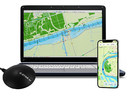
This chart set is suited for all WinGPS 5 and 6series for Windows. You can create high resolution full color prints of your charts for your own backup onboard.

Please use DKW Manager for installation on Windows.

Productspecifications

Art.nr.:  6514
Chart Name:  NV B8
Producer:  NV-Verlag
Languages:  German/English
Region:  Inland Europe
Edition:  2023
System Requirements:  Official version of WinGPS 4/5/6.

NEW – Service and Premium Subscription 2024

Make the most of our helpdesk with the new Service Subscription! Or upgrade your WinGPS 5 or 6 to the 2024 edition of WinGPS 6 directly with the Premium Subscription.


Navigate carefree with an up-to-date system on board!
Updated charts and navigation software help you in your travels. Do you already have your onboard navigation system ready? Update your WinGPS and charts now, or contact us. We are happy to think along with you about what you need for your upcoming trips.


Store opening

In order to offer you the most efficient and good service possible, our store in Heeg will remain open by appointment only for the time being.

We will of course remain available by e-mail and telephone during the regular opening hours.

shopping cart
basket is empty
view basket