Recommended for watersport enthusiasts, commercial shipping and fishermen in and around Amsterdam. Perfect for marinas and tourists who are planning a tour through the Amsterdam canals or a trip to Pampus. Specially made for participants and visitors of Sail Amsterdam,
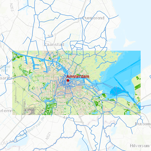
Chart coverageCovered in this chart are, amongst others: the Northsea channel, the IJ, Amsterdam canals, IJmeer with Pampus, Muiden, Muiderzand, Sloterplas, Nieuwe Meer and Waterland.
Click on the image for a larger view.Detailed screenshotsDepth imageThe depth image is based on recent measurements from Rijkswaterstaat and is provided with depth numbers relative to the winter level (NAP-4dm). The summer level is 2 dm deeper. The topographical chart image is supplemented with information about marinas, buoying and ferry services. This chart contains a large level of detail: with 0,8 meters per pixel, you can zoom up to the dock at your home port.
WaypointsAll the relevant information is shown on the chart as waypoints. Totally there are 2.091 waypoints, of which marinas with telephone number and website. Other groups include moorings, gas stations and buoying on the IJmeer. The bridges in Amsterdam are all mentioned, including information about height and width. If a bridge or lock is operable you will also receive a VHF channel.
More information:
The DKW charts are compatible with both WinGPS 5 and 6 (for Windows), WinGPS Marine (for Android and iOS) and WinGPS Yacht Navigator (for Windows, Android and iOS). A DKW Chart can be used on 3 devices simultaneously.
Productspecifications
| Art.nr.: | 7262 |
| Producer: | Stentec Software |
| Publisher: | Stentec Software |
| Languages: | Dutch |
| Region: | Inland Europe |
| Edition: | 2025 + 2026 |
| System Requirements: | Official version of WinGPS 5/6, WinGPS Marine or WinGPS Yacht Navigator.
152MB disk space. |


