| WinGPS Inland and the Inland Update Service are included in the price above. |
Specifically for commercial and recreational vessels with AIS Class A or INLAND-AIS, there's the WinGPS Inland Navigation planning and navigation program for your laptop or onboard PC. By loading the free IENC charts and connecting AIS and GPS, you can quickly and easily create an affordable, innovative, and sustainable onboard navigation system.The WinGPS Inland navigation program was initially developed specifically for commercial shipping on European inland waterways, but is also ideal for recreational boating with AIS Class A and for dredging companies, fishing companies, Rijkswaterstaat (the Directorate-General for Public Works and Water Management), water police, and provincial authorities.
For example, you can easily program your
AIS via WinGPS, ensuring you always have the correct destination and cargo registered in your AIS.
In addition, you can easily plan routes using the extensive
waterway network, which is regularly updated. Indicate your sailing hours, and overnight stays or other rest periods are automatically scheduled.
Notices for marines are downloaded automatically and are now automatically included in route planning with a single button press. This gives you an immediate alternative route.
With WinGPS Inland, you can report electronically using
BICS and view current bridge and lock operation information using the navigation system. View the
BLIS and current bIENC data from our partner
CoVadem (a CoVadem subscription is required).
WinGPS Inland also supports the
Fuel Flow meter, and water level forecasts (gauging stations) can be regularly updated.
In other words: ideal for sailing as sustainably as possible and saving fuel. This reduces your costs and helps the environment.
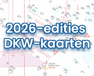
Digital chartsIn addition to WinGPS Inland, you'll need digital charts for your sailing area. Choose from the wide selection of up-to-date DKW charts (developed by Stentec), or load ENC charts from various government agencies to comply with the Information Mode (mandatory on German inland waterways).
Installation and Back-upBecause WinGPS Inland can be installed on two systems, you can plot your route and prepare for your trip from the comfort of your own home on a large screen. This second system is also ideal as a backup on board, for example, on a laptop.
Stentec has created a subscription for inland waterway skippers: the Inland Update Service. This service provides premium service, always-up-to-date IENC on board, discount on 100% DKW Charts and the latest updates from WinGPS Inland.Ideal for easily downloading IENC charts directly into WinGPS Inland. Simply check the countries you'll be sailing in, and WinGPS will check for updates for these IENC charts upon startup (only with a working internet connection, of course).
All updates for the WinGPS Inland navigation program are also included. This way, you always have the latest version of WinGPS and the latest changes to the waterway network at your disposal.
The Inland Update Service includes:
- ✔ All updates for the commercia shipping navigation program , WinGPS Inland. More info.
- ✔ Access to the iENC server to easily download and update iENC. More info.
- ✔ Updates to the European waterway network, including the bridge & lock information.
- ✔ Updated current and tide data for the Dutch coast.
- ✔ Free helpdesk support (normally €20 per 15 minutes).
- ✔ Access to the helpdesk Whatsapp and call back service.
- ✔ Discount on 100% DKW charts.
|
For more information about the subscription
click here.