The DKW German Baltic coast is developed for sailors, motorboaters and commercial use.
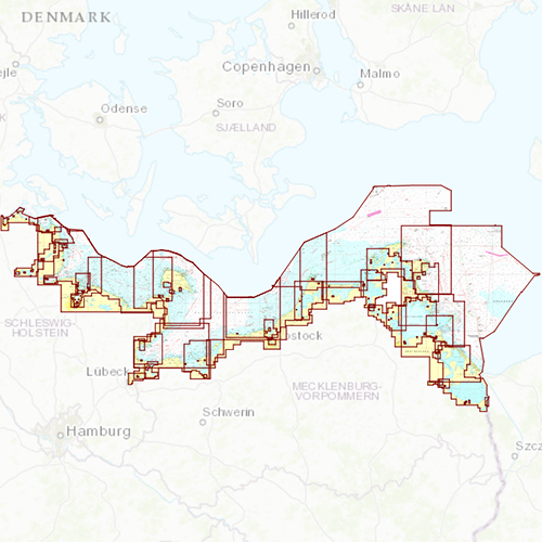
Chart coverageComplete coast line from Flensburg to Usedom with a.o. Kiel, Rostock and Kloster. This chart set fits seamlessly to DKW German Bight, DK1, DK2 and DK4.
Click on the image for a larger viewDetailed screenshotsDepth imageThe layout and depth colours are the same as on the DKW 1800-series and DKW German Bight, causing these charts to complement each other. Deep water is white and shallow water is coloured. This in contrast to the depth colours of Imray charts.
Wind and currentsThis chart is perfect in combination with WinGPS Pro, WinGPS Voyager and/or WinGPS Marine+. You can easily download the current wind and currents data, for safe route planning.
More information:
The DKW charts are compatible with both WinGPS 5 and 6 (for Windows), WinGPS Marine (for Android and iOS) and WinGPS Yacht Navigator (for Windows, Android and iOS). A DKW Chart can be used on 3 devices simultaneously.


